Challenge!
Unearthing Subsurface Secrets with Advanced Technology
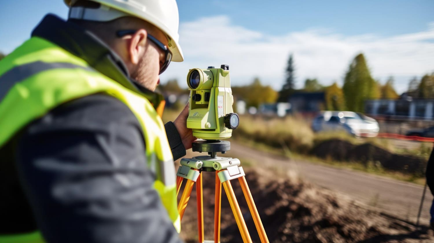
At GWMICC, our geophysical surveys employ cutting-edge technologies to reveal subsurface
conditions critical to water resource management, mineral exploration, and environmental
assessments. By integrating geo-electrical, seismic, and electromagnetic techniques, we offer
detailed insights to guide infrastructure planning, resource discovery, and sustainable development.
Geo-Electric Surveys: Investigating subsurface resistivity to identify aquifers, lithology, and mineral deposits.
Electromagnetic Survey (ADMT): Audio Magneto Telluric Detector surveys for non-invasive and accurate mapping of underground resources.
Tomographic Imaging: Producing cross-sectional views of subsurface structures for targeted analysis.
Radiometric Surveys: Measuring natural radioactivity to detect mineral concentrations and geological anomalies.
Induced Polarisation Surveys: Identifying mineralised zones through electrical chargeability contrast.
Soil Moisture Monitoring: Using sensors and remote sensing to assess moisture levels critical for agriculture and drought forecasting.
Microseismic Monitoring: Tracking subtle earth movements to detect stress changes and activity in geothermal or mining areas.