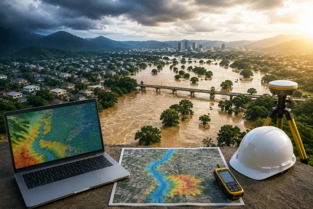
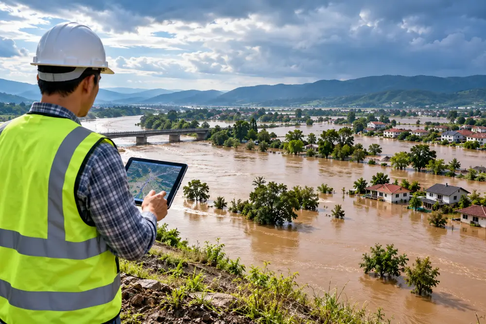
Flooding can affect buildings, infrastructure, businesses, land and communities, often causing significant financial and environmental damage. Understanding the possibility of flooding before development or construction takes place is therefore an important part of responsible planning.
Assessing flood risk involves identifying potential sources of flooding, understanding the likelihood of a flood event and evaluating what could be affected. A well-prepared flood risk assessment can also help identify suitable measures to reduce potential impacts and improve the resilience of a site.
What Is Assessing Flood Risk?
Assessing flood risk is the process of evaluating the potential for flooding at a particular site or within an area. It considers both the source of flooding and the potential consequences.
Flood risk can be influenced by factors such as rainfall, topography, rivers, surface water, groundwater, drainage infrastructure and land use.
A comprehensive assessment considers:
- The potential source of flooding
- The likelihood of flooding
- Flood extent and depth
- Surface water and drainage conditions
- Groundwater conditions
- Nearby rivers and watercourses
- Buildings and infrastructure at risk
- Potential impacts of flooding
- Appropriate mitigation measures
The aim is to develop a clear understanding of the flood conditions affecting a site and support informed planning and design decisions.
Why Is Flood Risk Assessment Important?
Flood risk assessment can help identify potential problems before they become costly or difficult to manage.
For development projects, understanding flood risk can influence site layout, drainage design, building locations and flood mitigation measures. It can also help ensure that potential risks to surrounding properties and infrastructure are properly considered.
For existing sites, flood risk assessment can identify vulnerabilities and provide recommendations for improving flood resilience.
Early assessment can therefore help organisations make better decisions while reducing the potential consequences of future flood events.
Key Factors in Assessing Flood Risk
Several environmental and physical factors need to be considered when assessing flood risk.
Topography
Ground levels and the shape of the land influence how water moves across a site. Low-lying areas and natural depressions may be more susceptible to water accumulation.
Topographical information can help identify potential flow paths and areas where surface water may collect.
Rainfall and Surface Water
Heavy rainfall can generate significant surface water, particularly in areas with extensive buildings, roads and other impermeable surfaces.
Understanding rainfall patterns, runoff and existing drainage conditions can help determine the potential for surface water flooding.
Rivers and Watercourses
Sites located near rivers, streams or other watercourses may be exposed to river flooding.
Historical flood information, water levels, catchment characteristics and available flood mapping can help establish the potential flood hazard.
Groundwater
Groundwater can also contribute to flooding in some locations. Geological conditions, groundwater levels and local hydrogeology may need to be considered where groundwater is identified as a potential flood source.
Drainage
Existing drainage infrastructure plays an important role in managing rainfall and surface water.
Limited drainage capacity, blockages or changes in surrounding land use can increase the potential for localised flooding. Assessing existing drainage conditions can therefore form an important part of flood risk analysis.
Types of Flood Risk
Flooding can occur through different mechanisms, and a site may be affected by more than one flood source.
River Flooding
River flooding occurs when water levels rise beyond the capacity of a river or watercourse. The potential impact depends on factors such as river characteristics, rainfall, topography and the location of the site.
Surface Water Flooding
Surface water flooding occurs when rainfall cannot drain away quickly enough. It can occur even when a site is not located close to a river.
Groundwater Flooding
Groundwater flooding may occur when groundwater levels rise sufficiently to reach the surface or enter buildings and infrastructure.
Drainage and Sewer Flooding
Drainage systems can become overwhelmed during intense rainfall or may have insufficient capacity to handle increased runoff, creating localised flood conditions.
Coastal and Tidal Flooding
Sites near coastlines, estuaries and tidal water bodies may be exposed to coastal or tidal flooding and require appropriate assessment of these risks.
Flood Risk Mapping and GIS
GIS plays an important role in modern flood risk assessment. Geographic Information Systems can combine different datasets to understand how flood hazards are distributed across a site or wider area.
Depending on the project, GIS analysis may consider:
- Ground elevation
- Watercourses
- Drainage networks
- Land use
- Rainfall information
- Flood history
- Surface water flow paths
- Flood mapping data
Flood risk maps can make technical information easier to understand and help planners, developers and engineers identify areas that may require additional investigation or mitigation.
Assessing Flood Risk for Development
Flood risk should ideally be considered during the early planning and design stages of a development.
Understanding existing flood conditions can help determine how buildings, roads, drainage infrastructure and other site features should be arranged.
A flood risk assessment may also consider whether proposed development could change existing surface water runoff or affect surrounding properties.
Early consideration of flood risk allows appropriate measures to be incorporated into the project rather than making major changes later.
Flood Risk Mitigation
The purpose of assessing flood risk is not only to identify hazards but also to support effective risk management.
Depending on the site, mitigation measures may include:
- Improving drainage
- Managing surface water runoff
- Providing attenuation or storage
- Maintaining natural drainage routes
- Using suitable sustainable drainage measures
- Protecting vulnerable infrastructure
- Incorporating flood-resilient design
- Managing development in higher-risk areas
The most suitable solution depends on the source and characteristics of the flood risk identified at the site.
When Is a Flood Risk Assessment Required?
A flood risk assessment may be particularly important where:
- A site is located near a river or watercourse
- There is a history of flooding
- Surface water is a concern
- Groundwater may contribute to flooding
- A development could change existing runoff
- Drainage capacity is limited
- The site is located in a flood-prone area
- Planning or regulatory requirements require an assessment
The exact requirements depend on the location, type and scale of the project.
Flood Risk Assessment Consultant
A flood risk assessment consultant can provide specialist support in identifying and evaluating potential flood hazards.
Professional consultancy may include flood risk assessment, flood hazard analysis, flood risk mapping, GIS analysis, surface water assessment, groundwater-related flood assessment, drainage evaluation and technical reporting.
A site-specific approach is important because flood risk can vary significantly depending on local environmental and physical conditions.
Flood Risk Assessment Services
Groundwater India provides consultancy support for water, groundwater and environmental assessment requirements.
Our flood risk-related consultancy can include:
- Flood risk assessment
- Flood hazard assessment
- Flood risk mapping
- Surface water assessment
- Groundwater-related flood assessment
- Drainage and runoff assessment
- GIS-based analysis
- Flood risk consultancy
- Technical reporting
- Flood mitigation recommendations
Each assessment can be tailored to the characteristics and requirements of the individual project.
Frequently Asked Questions
What does assessing flood risk mean?
Assessing flood risk means identifying potential sources of flooding and evaluating their likelihood and possible impact on people, property, infrastructure and the environment.
What factors are considered in flood risk assessment?
Common factors include rainfall, topography, rivers, surface water, groundwater, drainage, land use, historical flooding and the vulnerability of exposed assets.
Can GIS be used for assessing flood risk?
Yes. GIS can combine elevation, drainage, watercourse, land-use and flood data to support flood risk mapping and analysis.
Is groundwater included in flood risk assessment?
Where groundwater is a potential source of flooding, groundwater levels, geology and hydrogeological conditions can be considered as part of the assessment.
Why is flood risk assessment important for development?
It helps identify potential flood constraints and allows suitable drainage, site design and mitigation measures to be considered before development takes place.
Conclusion
Assessing flood risk provides a clearer understanding of where flooding may occur, what could be affected and how potential impacts can be managed.
By considering factors such as rainfall, topography, rivers, surface water, groundwater and drainage, a site-specific flood risk assessment can support better planning and more resilient development.
Professional flood risk assessment and consultancy can help developers, businesses and landowners make informed decisions and identify practical measures for reducing potential flood impacts.