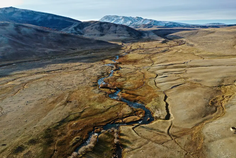
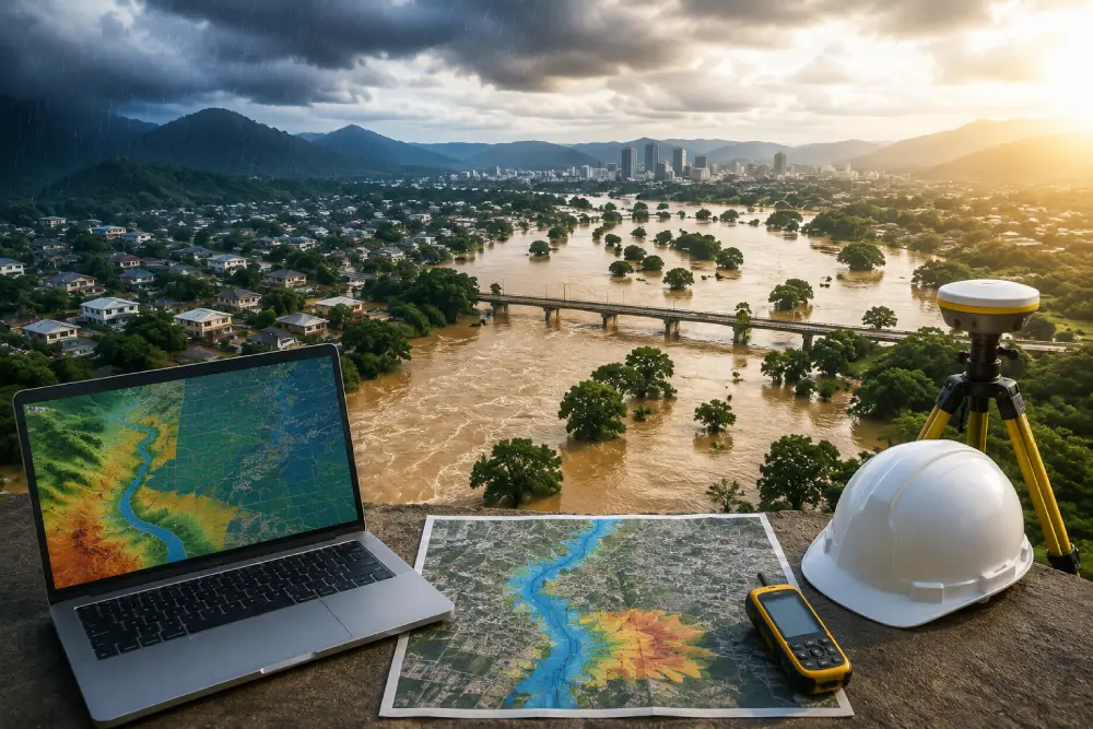
Flooding and water-related hazards can affect residential areas, infrastructure, agriculture, industries and developing urban regions. A Flood Risk & Water Risk Assessment helps identify potential hazards, understand their causes and evaluate their possible impact on people, property and the environment.
A professional assessment combines hydrological studies, rainfall data, drainage analysis, GIS mapping and hydraulic modelling to understand how water may move across a site. This information helps organizations develop practical strategies for reducing flood exposure and improving long-term water management.
What Is Flood Risk & Water Risk Assessment?
A Flood Risk & Water Risk Assessment is a systematic study used to identify and evaluate the likelihood and potential impact of flooding and other water-related hazards. It considers factors such as rainfall, drainage, catchment characteristics, terrain, watercourses and existing infrastructure.
The assessment helps determine which areas may be vulnerable to flooding and why. It can also support planning decisions, infrastructure design and environmental management by providing a clearer understanding of existing and future water-related risks.
Why Is Flood Risk Assessment Important?
Flood risk assessment is important because uncontrolled surface water and drainage problems can cause significant damage to buildings, roads, agricultural land and infrastructure. Understanding the potential flood pathways before development can help reduce these risks.
A detailed assessment can identify flood-prone zones, drainage limitations and areas where water may accumulate during heavy rainfall. This allows developers, engineers and authorities to consider appropriate mitigation measures during the planning and design stages.
Hydrological Studies for Flood Risk Analysis
Hydrological studies help understand how rainfall becomes runoff and how water moves through a catchment. Factors such as rainfall intensity, catchment size, land use, soil conditions, slope and drainage characteristics are considered during the analysis.
These studies provide important inputs for flood modelling and drainage planning. By understanding the relationship between rainfall and runoff, it becomes easier to estimate potential flow conditions and assess how a site may respond during significant rainfall events.
Hydraulic Modelling and Flood Analysis
Hydraulic modelling is used to understand how water flows across land, channels and drainage systems under different conditions. Models can help assess water depth, flow direction, velocity and potential inundation areas.
Tools such as HEC-RAS and SWAT can be used depending on the project requirements and type of analysis. The modelling results can help identify vulnerable areas and evaluate how proposed drainage or flood-control measures may influence water movement.
GIS Flood Mapping and Risk Assessment
GIS plays an important role in modern flood risk assessment by allowing spatial information to be combined and analyzed. Topography, drainage networks, rainfall information, land use and infrastructure can be integrated into a geographic framework.
GIS-based flood mapping can help visualize areas that may be exposed to flooding and identify important flood pathways. These maps are useful for planning, infrastructure development, environmental assessment and communicating flood risks to project stakeholders.
Water Risk Assessment and Stormwater Management
Water risk assessment extends beyond flooding and considers broader challenges associated with water availability, drainage, catchment behavior and water management. Urban development can increase surface runoff by replacing natural ground with roads, buildings and other impervious surfaces.
Effective Stormwater Management helps control and safely manage runoff during rainfall events. Drainage planning, water storage, infiltration measures and sustainable drainage solutions can help reduce pressure on existing drainage networks and improve overall water management.
Catchment Hydrology and Drainage System Design
Understanding catchment hydrology is essential for designing effective drainage systems. A catchment determines how rainfall is collected, concentrated and transferred through natural and artificial drainage pathways.
A detailed catchment study can identify drainage constraints, runoff patterns and potential areas of water accumulation. This information supports the design of drainage systems that are better suited to local terrain, rainfall conditions and future development requirements.
Multi-Hazard Flood Risk Assessment
Water-related risks can involve more than one type of hazard. Flooding may occur because of intense rainfall, river overflow, inadequate drainage, surface runoff or a combination of different factors.
Multi-Hazard Risk Assessment considers multiple potential sources and their interactions. This approach provides a broader understanding of risk and can help project teams develop mitigation strategies that address several water-related hazards rather than focusing on a single source.
Climate Change and Future Water Risks
Changing rainfall patterns and extreme weather events can increase uncertainty in flood and water-risk planning. Areas that historically experienced limited flooding may face different levels of exposure as rainfall intensity, land use and drainage conditions change.
Considering future conditions in flood risk studies can help make infrastructure and development more resilient. Scenario-based modelling and updated hydrological information can support better long-term planning and help identify measures that remain effective under changing conditions.
How Flood Risk & Water Risk Assessment Supports Better Planning
A professional Flood Risk & Water Risk Assessment provides evidence that can support decisions related to land development, infrastructure, drainage and environmental management. It brings together field information, hydrological analysis, GIS mapping and modelling to create a clearer picture of water-related risks.
The final assessment can help identify vulnerable areas, evaluate existing drainage conditions and recommend suitable risk-reduction measures. By addressing water risks early, organizations can improve project resilience, reduce potential damage and support more sustainable development.
Conclusion
Flood Risk & Water Risk Assessment is an important part of modern water management and infrastructure planning. Through hydrological studies, hydraulic modelling, GIS flood mapping, catchment analysis and stormwater assessment, potential water-related hazards can be identified and evaluated more effectively.
A well-designed assessment helps understand where flooding may occur, how water moves through a catchment and which areas may require additional protection or improved drainage. Combining technical analysis with practical mitigation strategies can support safer infrastructure and more resilient development.
For projects facing complex water-related challenges, professional Flood Risk Assessment Services and Water Risk Assessment Services can provide the technical information needed to make informed planning, design and water-management decisions.