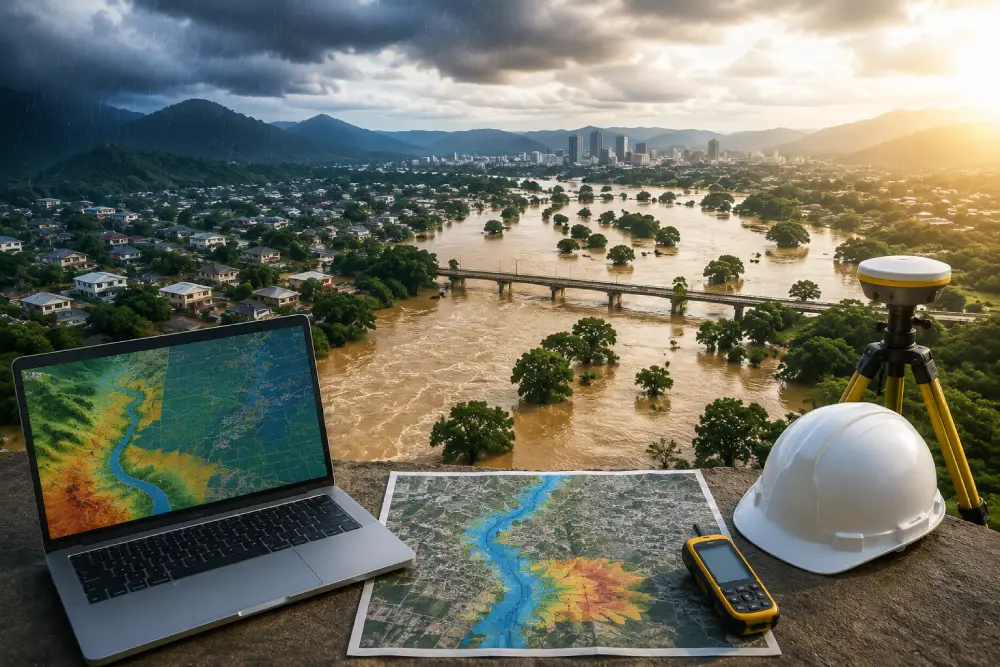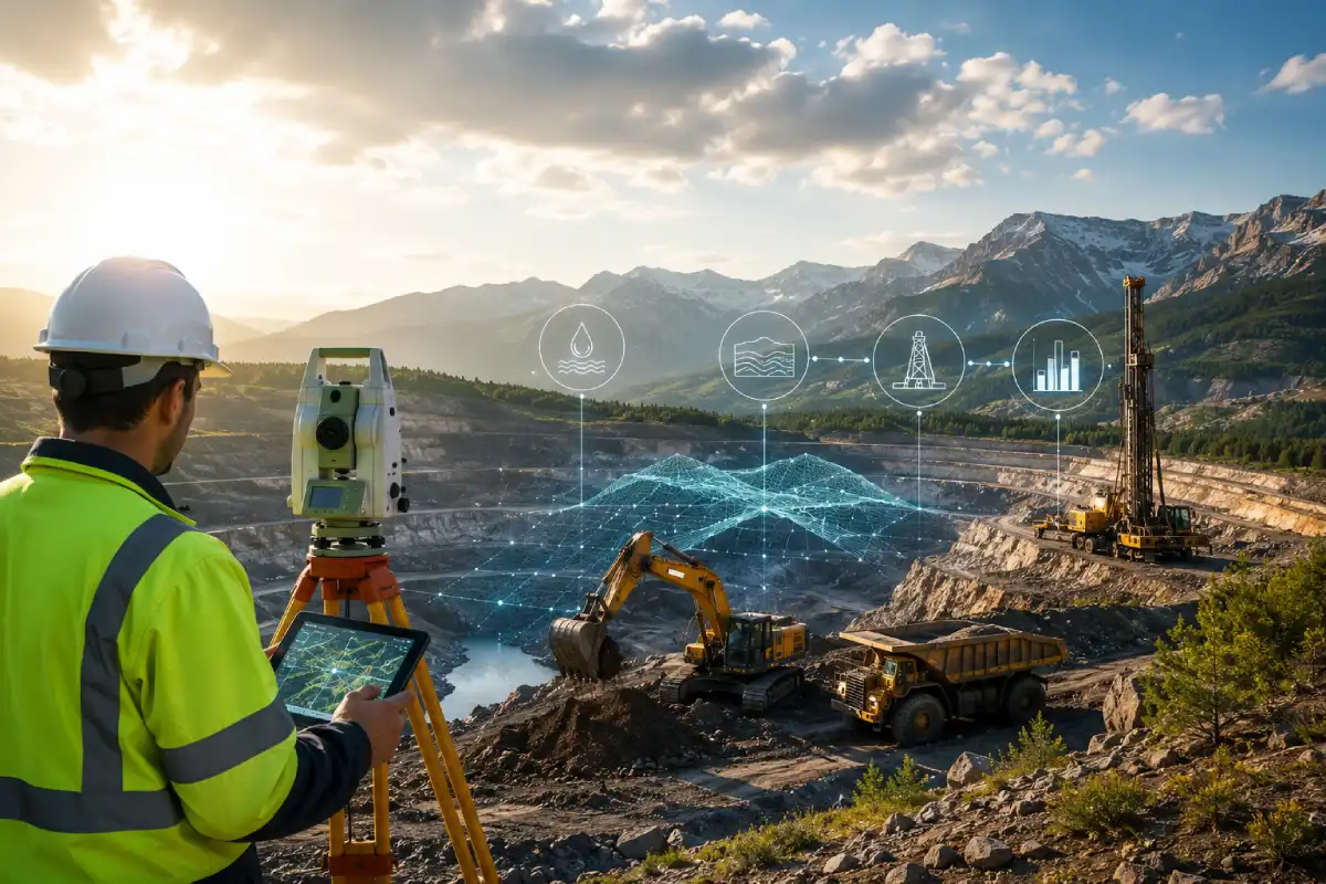
A Geophysical Survey is a scientific method used to investigate the physical properties and geological conditions beneath the ground without extensive excavation or drilling. It plays an important role in groundwater exploration, mineral investigation, construction planning, infrastructure development and subsurface mapping. By measuring variations in properties such as electrical resistivity, electromagnetic response and seismic velocity, geophysical surveys can provide valuable information about underground formations and potential subsurface targets.
Modern geophysical investigation combines advanced instruments, field measurements and technical interpretation to understand what is present below the surface. Depending on the project requirements, different techniques such as resistivity surveys, electromagnetic surveys, Ground Penetrating Radar (GPR), soil resistivity testing and seismic surveys can be used individually or together. The right method depends on the target, expected depth, geological conditions and purpose of the investigation.
What Is a Geophysical Survey?
A Geophysical Survey is a non-invasive or minimally invasive investigation technique that measures the physical properties of the Earth’s subsurface. Instead of relying only on drilling several boreholes, geophysical methods allow professionals to investigate larger areas and identify variations that may indicate different geological formations, groundwater conditions, mineralized zones, buried structures or other subsurface features.
The basic principle is that different underground materials have different physical properties. For example, dry rock, saturated formations, clay, sand, fractured rock and mineralized zones can respond differently to electrical, electromagnetic or seismic measurements. Geophysical instruments detect these variations, and the resulting data is processed and interpreted to develop a model of the subsurface.
A professional Geophysical Survey therefore provides more than simple field measurements. It involves survey planning, appropriate instrument selection, systematic data collection, processing, interpretation and correlation with geological or hydrogeological information.
Why Is Geophysical Survey Important?
Understanding subsurface conditions before drilling, construction or exploration can significantly reduce uncertainty. The ground may appear uniform at the surface while geological conditions can vary considerably below it. A properly designed Geophysical Survey helps identify these variations and provides information that can support better decisions.
For groundwater exploration, geophysical investigation can help identify formations that may have groundwater potential and assist in selecting locations for further investigation or drilling. For mineral exploration, geophysical measurements can identify anomalies that may justify more detailed geological studies. In construction and infrastructure projects, surveys can provide information about soil, rock and shallow subsurface conditions.
The major advantage is that geophysical investigation can provide information across an area rather than at only one point. When combined with borehole, geological and site information, it can create a more comprehensive understanding of the subsurface.
Geophysical Survey Methods
Different Geophysical Survey methods are designed to investigate different physical properties of the ground. Selecting the correct technique is one of the most important parts of a successful survey because no single method is suitable for every geological environment or exploration objective.
Electrical resistivity, electromagnetic techniques, Ground Penetrating Radar and seismic methods are among the commonly used approaches for subsurface investigation. The selection depends on the required investigation depth, target characteristics, ground conditions, expected resolution and project objectives.
In complex projects, multiple methods can be combined to improve interpretation. For example, electrical resistivity may be used to investigate deeper geological variations while GPR provides detailed information about shallow subsurface features.
Electrical Resistivity Survey for Subsurface Investigation
Electrical Resistivity Survey is a widely used Geophysical Survey method for investigating variations in the electrical resistivity of subsurface materials. Different soils and rocks have different electrical characteristics, and these characteristics can change depending on moisture content, porosity, clay content, mineral composition and groundwater conditions.
Resistivity surveys are frequently used in groundwater exploration and geological investigations. They can help identify changes between geological layers and highlight zones that may require further hydrogeological investigation.
Geophysical Electromagnetic Survey
A Geophysical Electromagnetic Survey measures variations in electromagnetic or electrical properties of the subsurface. Because different geological materials can produce different electromagnetic responses, this technique can be useful for mapping subsurface variations over an area.
Electromagnetic surveys can support groundwater exploration, geological mapping, environmental investigations and other forms of subsurface exploration. Advanced electromagnetic approaches, including ADMT-based techniques and specialized instruments, may be selected depending on the objectives and geological conditions of the site.
One of the advantages of electromagnetic investigation is the ability to survey areas efficiently without extensive excavation. The collected measurements can be processed to identify anomalies and variations that may require further investigation.
Soil Resistivity Testing Services
Soil Resistivity Testing determines the electrical resistivity of soil at different locations and depths. It is particularly important for electrical grounding and earthing system design.
The results can help engineers plan suitable grounding systems for industrial, construction and infrastructure projects.
Ground Penetrating Radar (GPR)
Ground Penetrating Radar, or GPR, is a non-destructive technique used for high-resolution shallow subsurface investigation.
It can help locate buried utilities, structures, voids, foundations and other shallow underground features without unnecessary excavation.
Seismic Survey
Seismic Surveys use seismic waves and geophones to investigate underground geological layers and structures.
They can provide useful information about subsurface formations and are commonly applied in geological and engineering investigations.
Geophysical Survey for Groundwater Exploration
Geophysical Survey techniques can help identify geological formations that may have groundwater potential. Resistivity and electromagnetic methods are commonly used for this type of investigation.
The results can help select promising locations for further hydrogeological investigation or drilling.
Geophysical Exploration for Minerals
Geophysical Exploration helps identify subsurface anomalies that may be associated with mineralized zones or geological structures.
Electrical, electromagnetic and seismic techniques can be selected according to the mineral target and geological conditions.
Geophysical Survey for Construction
Before construction, a Geophysical Survey can help identify variations in soil and rock conditions, buried structures, cavities and other subsurface features.
This information can support better site planning and help reduce unexpected subsurface problems during construction.
How Does a Geophysical Survey Work?
The process normally begins with understanding the project objective and selecting the appropriate survey method. Field instruments are then used to collect measurements across the selected survey area.
The collected data is processed and interpreted to identify significant subsurface variations and potential targets.
Benefits of Geophysical Survey Services
Geophysical Survey Services provide a non-invasive way to investigate subsurface conditions over larger areas. They can reduce uncertainty and help guide drilling, exploration and construction decisions.
Combining different geophysical methods can provide a more complete understanding of complex subsurface environments.
Choosing the Right Geophysical Survey Method
The right method depends on the target, expected depth, geology and purpose of the investigation. Resistivity, electromagnetic, GPR, soil resistivity and seismic methods each have specific applications.
A professional survey provider can recommend the most appropriate combination of techniques based on site conditions.
Conclusion
A Geophysical Survey is an effective tool for understanding subsurface conditions for groundwater, minerals, construction and infrastructure projects.
With methods such as resistivity surveys, electromagnetic surveys, soil resistivity testing, GPR and seismic surveys, geophysical investigation can provide valuable information before drilling, excavation or construction begins.